檔案:Ocean City Maryland aerial view north.jpg
Yi-lám thai séu: 800 × 534 chhiong-su. Khì-thâ kié-sak-thu: 320 × 214 chhiong-su | 640 × 427 chhiong-su | 1,024 × 683 chhiong-su | 1,500 × 1,001 chhiong-su.
Ngièn-pún tóng-on (1,500 × 1,001 chhiong-su, vùn-khien thai-séu: 753 KB, MIME lui-hîn: image/jpeg)
| Mèu-sut |
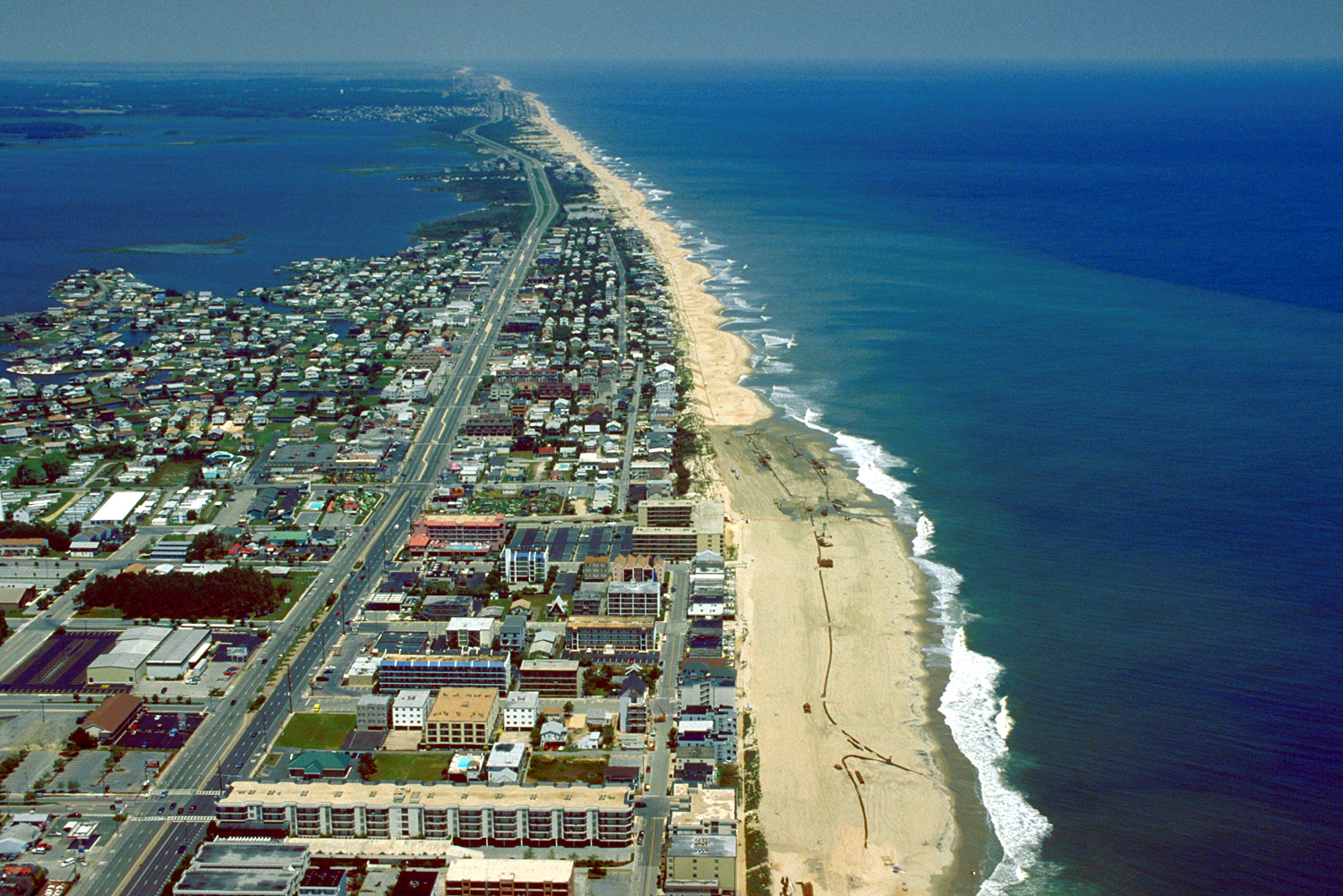
English: Aerial view of Ocean City, Maryland, USA. View is to the north-northeast. |
|||
| Ngit-khì | ||||
| Lòi-ngièn |
U.S. Army Corps of Engineers Digital Visual Library Image page Image description page Digital Visual Library home page |
|||
| Chok-chá | Tex Jobe, U.S. Army Corps of Engineers | |||
| Khièn-han: (Chhùng-yung liá-chak tóng-on) |
|
|||
| 圖中地點 | Ocean City, Maryland, USA |
| 拍攝地點 | | 位於此地的本圖片與其他圖片: OpenStreetMap |
|---|
Vùn-khien li̍t-sṳ́
Tiám-khim ngit-khì / sṳ̀-kiên lòi chhà-khon tông-sṳ̀ chhut-hien-ko ke vùn-khien.
| Ngit khì / Sṳ̀-kiên | Suk-lio̍k-thù | Vì-thu | Yung-fu | Yi-kien | |
|---|---|---|---|---|---|
| tông-chhièn | 2007年4月8日 (Ngit) 01:10 | | 1,500 × 1,001(753 KB) | DanMS | {{Information | Description = {{en|Aerial view of Ocean City, Maryland, USA. View is to the north-northeast.}} | Source = U.S. Army Corps of Engineers Digital Visual Library<br />[http://images.usace.army.mil/images/Hires/0454-12.Jpg Image page |
Vùn-khien yung-chhú
Hâ poi ke 1-chak ya̍p-mien lièn-chiap to pún vùn-khien:
Chhiòn-vet tóng-on sṳ́-yung chhong-khóng
Hâ-lie̍t khì-thâ Wiki chûng sṳ́-yung liá-chak tóng on:
- ar.wikipedia.org ke sṳ́-yung chhong-khóng
- bg.wikipedia.org ke sṳ́-yung chhong-khóng
- bo.wikipedia.org ke sṳ́-yung chhong-khóng
- ca.wikipedia.org ke sṳ́-yung chhong-khóng
- de.wikipedia.org ke sṳ́-yung chhong-khóng
- en.wikipedia.org ke sṳ́-yung chhong-khóng
- es.wikipedia.org ke sṳ́-yung chhong-khóng
- fa.wikipedia.org ke sṳ́-yung chhong-khóng
- fr.wikipedia.org ke sṳ́-yung chhong-khóng
- hi.wikipedia.org ke sṳ́-yung chhong-khóng
- hu.wikipedia.org ke sṳ́-yung chhong-khóng
- ilo.wikipedia.org ke sṳ́-yung chhong-khóng
- is.wikipedia.org ke sṳ́-yung chhong-khóng
- it.wikipedia.org ke sṳ́-yung chhong-khóng
- ja.wikipedia.org ke sṳ́-yung chhong-khóng
- kn.wikipedia.org ke sṳ́-yung chhong-khóng
- pam.wikipedia.org ke sṳ́-yung chhong-khóng
- pl.wikipedia.org ke sṳ́-yung chhong-khóng
- pt.wikipedia.org ke sṳ́-yung chhong-khóng
- tr.wikipedia.org ke sṳ́-yung chhong-khóng
- ur.wikipedia.org ke sṳ́-yung chhong-khóng
- zh.wikipedia.org ke sṳ́-yung chhong-khóng