檔案:Map - NL - Municipality code 1859 (2009).svg

此 SVG 檔案的 PNG 預覽的大小:300 × 160 chhiong-su。 Khì-thâ kié-sak-thu: 320 × 171 chhiong-su | 640 × 341 chhiong-su | 1,024 × 546 chhiong-su | 1,280 × 683 chhiong-su | 2,560 × 1,365 chhiong-su.
Ngièn-pún tóng-on (SVG文件,尺寸:300×160像素,文件大細:530 KB)
| Mèu-sut |
|
|||
| Ngit-khì | ||||
| Lòi-ngièn | own work , using CBS data | |||
| Chok-chá | Michiel1972 (talk) 00:19, 25 January 2009 (UTC) | |||
| Khièn-han: (Chhùng-yung liá-chak tóng-on) |
Attribution ShareAlike 3.0 |

此檔案採用創用CC 姓名標示-相同方式分享 3.0 未在地化版本授權條款。
- Ngì cho-tet chhṳ-yù:
- fûn-hióng – fu̍k-chṳ, fat-pu lâu chhòn-pô pún chok-phín
- chhùng-sîn siû-kói – chhóng-chok yên-yi̍t chok-phín
- 惟需遵照下列條件:
- 姓名標示 – 您必須指名出正確的製作者,和提供授權條款的連結,以及表示是否有對內容上做出變更。您可以用任何合理的方式來行動,但不得以任何方式表明授權條款是對您許可或是由您所使用。
- siông-thùng fông-sṳt fûn-hióng – 如果您利用本素材進行再混合、轉換或創作,您必須基於如同原先的相同或兼容的條款,來分布您的貢獻成品。
Vùn-khien li̍t-sṳ́
Tiám-khim ngit-khì / sṳ̀-kiên lòi chhà-khon tông-sṳ̀ chhut-hien-ko ke vùn-khien.
| Ngit khì / Sṳ̀-kiên | Suk-lio̍k-thù | Vì-thu | Yung-fu | Yi-kien | |
|---|---|---|---|---|---|
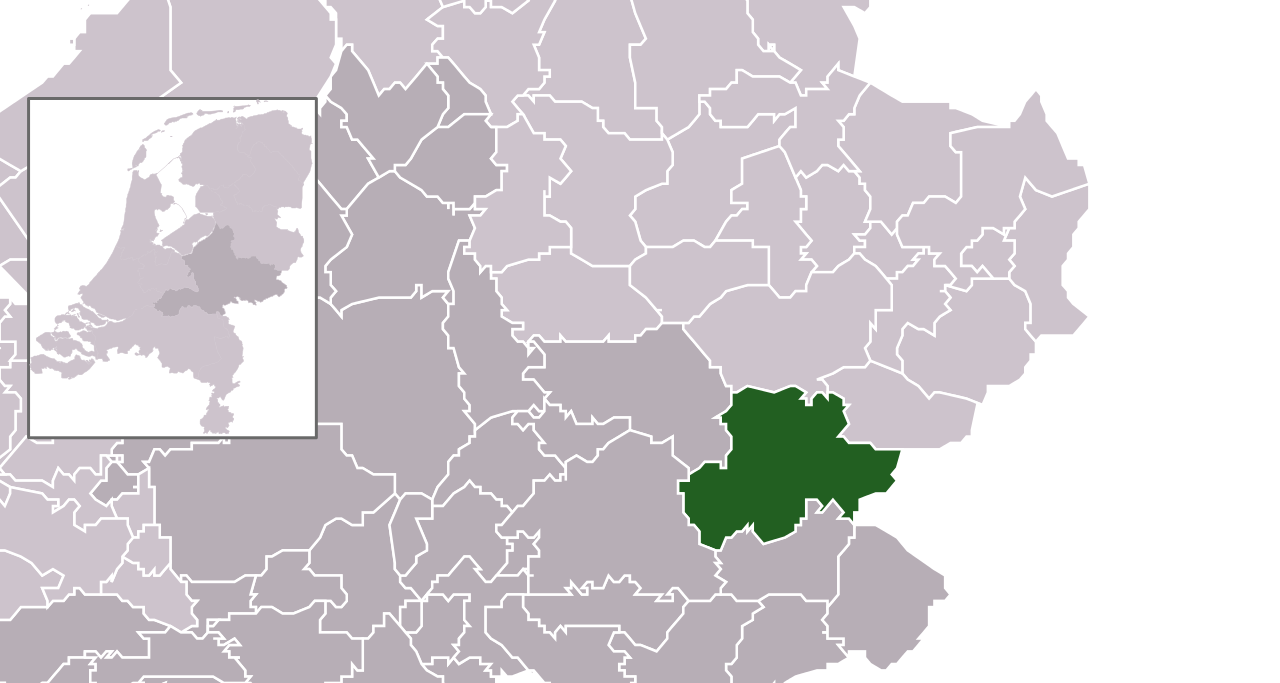
| tông-chhièn | 2009年1月25日 (Ngit) 00:19 | | 300 × 160(530 KB) | Michiel1972 | {{Information |Description=*Location maps for the 441 municipalities in the Netherlands. Boundaries 1/1/2009 *Automatically generated with script *File name contains "Municipality code" (CBS-code) as specified in: [http://www.cbs.nl/nl-NL/menu/methoden/c |
Vùn-khien yung-chhú
Hâ poi ke 1-chak ya̍p-mien lièn-chiap to pún vùn-khien:
Chhiòn-vet tóng-on sṳ́-yung chhong-khóng
Hâ-lie̍t khì-thâ Wiki chûng sṳ́-yung liá-chak tóng on:
- ar.wikipedia.org ke sṳ́-yung chhong-khóng
- en.wikipedia.org ke sṳ́-yung chhong-khóng
- fa.wikipedia.org ke sṳ́-yung chhong-khóng
- fr.wikipedia.org ke sṳ́-yung chhong-khóng
- hu.wikipedia.org ke sṳ́-yung chhong-khóng
- hy.wikipedia.org ke sṳ́-yung chhong-khóng
- it.wikipedia.org ke sṳ́-yung chhong-khóng
- la.wikipedia.org ke sṳ́-yung chhong-khóng
- ms.wikipedia.org ke sṳ́-yung chhong-khóng
- nl.wikipedia.org ke sṳ́-yung chhong-khóng
- ru.wikipedia.org ke sṳ́-yung chhong-khóng
- simple.wikipedia.org ke sṳ́-yung chhong-khóng
- tr.wikipedia.org ke sṳ́-yung chhong-khóng
- uk.wikipedia.org ke sṳ́-yung chhong-khóng
- zh-min-nan.wikipedia.org ke sṳ́-yung chhong-khóng
- zh.wikipedia.org ke sṳ́-yung chhong-khóng
.svg)