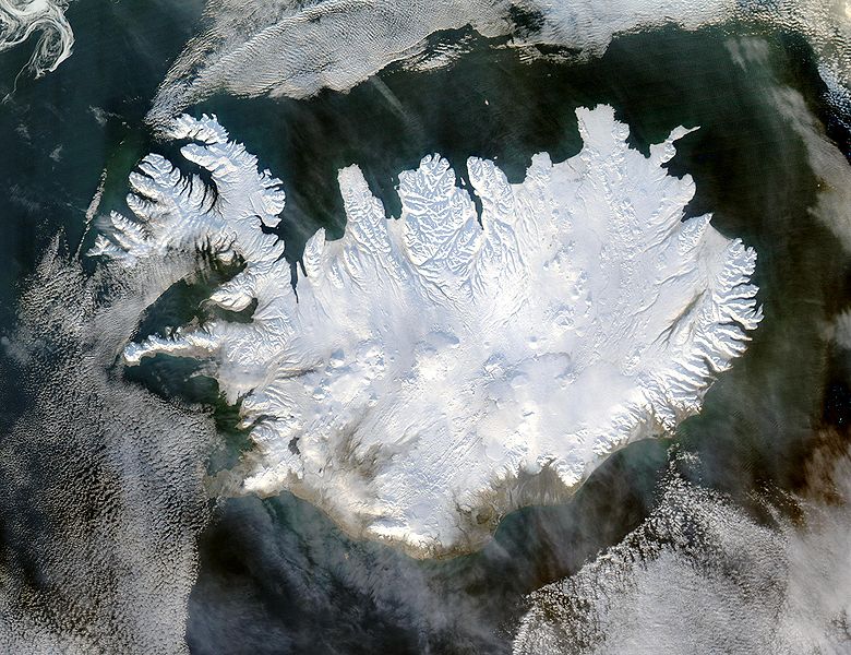
檔案:Iceland satellite.jpg

Yi-lám thai séu: 780 × 600 chhiong-su. Khì-thâ kié-sak-thu: 312 × 240 chhiong-su | 624 × 480 chhiong-su | 999 × 768 chhiong-su | 1,280 × 985 chhiong-su | 2,600 × 2,000 chhiong-su.
Ngièn-pún tóng-on (2,600 × 2,000 chhiong-su, vùn-khien thai-séu: 869 KB, MIME lui-hîn: image/jpeg)
Vùn-khien li̍t-sṳ́
Tiám-khim ngit-khì / sṳ̀-kiên lòi chhà-khon tông-sṳ̀ chhut-hien-ko ke vùn-khien.
| Ngit khì / Sṳ̀-kiên | Suk-lio̍k-thù | Vì-thu | Yung-fu | Yi-kien | |
|---|---|---|---|---|---|
| tông-chhièn | 2004年12月5日 (Ngit) 05:49 |  | 2,600 × 2,000(869 KB) | Ævar Arnfjörð Bjarmason | bigger version |
| 2004年11月6日 (Liuk) 12:06 |  | 540 × 405(68 KB) | Ranveig | NASA satelite image of Iceland |
Vùn-khien yung-chhú
Mò ya̍p-mien lièn-chiap to pún vùn-khien.
Chhiòn-vet tóng-on sṳ́-yung chhong-khóng
Hâ-lie̍t khì-thâ Wiki chûng sṳ́-yung liá-chak tóng on:
- af.wikipedia.org ke sṳ́-yung chhong-khóng
- ar.wikipedia.org ke sṳ́-yung chhong-khóng
- arz.wikipedia.org ke sṳ́-yung chhong-khóng
- ast.wikipedia.org ke sṳ́-yung chhong-khóng
- azb.wikipedia.org ke sṳ́-yung chhong-khóng
- be.wikipedia.org ke sṳ́-yung chhong-khóng
- bg.wikipedia.org ke sṳ́-yung chhong-khóng
- bn.wikipedia.org ke sṳ́-yung chhong-khóng
- ca.wikipedia.org ke sṳ́-yung chhong-khóng
- ca.wikiquote.org ke sṳ́-yung chhong-khóng
- ceb.wikipedia.org ke sṳ́-yung chhong-khóng
- cs.wikipedia.org ke sṳ́-yung chhong-khóng
- dag.wikipedia.org ke sṳ́-yung chhong-khóng
- da.wikipedia.org ke sṳ́-yung chhong-khóng
- de.wikipedia.org ke sṳ́-yung chhong-khóng
- diq.wikipedia.org ke sṳ́-yung chhong-khóng
- dz.wikipedia.org ke sṳ́-yung chhong-khóng
- el.wikipedia.org ke sṳ́-yung chhong-khóng
- en.wikipedia.org ke sṳ́-yung chhong-khóng
- en.wikiversity.org ke sṳ́-yung chhong-khóng
- es.wikipedia.org ke sṳ́-yung chhong-khóng
- es.wiktionary.org ke sṳ́-yung chhong-khóng
- fa.wikipedia.org ke sṳ́-yung chhong-khóng
- fi.wikipedia.org ke sṳ́-yung chhong-khóng
- fr.wikipedia.org ke sṳ́-yung chhong-khóng
Kiám-sṳ liá vùn-khien ke kiên-tô chhiòn-vet sṳ́-yung chhong-khóng.

