檔案:Central Asia (orthographic projection).svg

此 SVG 檔案的 PNG 預覽的大小:553 × 553 chhiong-su。 Khì-thâ kié-sak-thu: 240 × 240 chhiong-su | 480 × 480 chhiong-su | 768 × 768 chhiong-su | 1,024 × 1,024 chhiong-su | 2,048 × 2,048 chhiong-su.
Ngièn-pún tóng-on (SVG文件,尺寸:553×553像素,文件大細:344 KB)
Vùn-khien sot-mìn
| Mèu-sut |
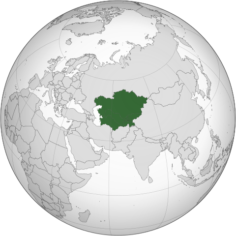
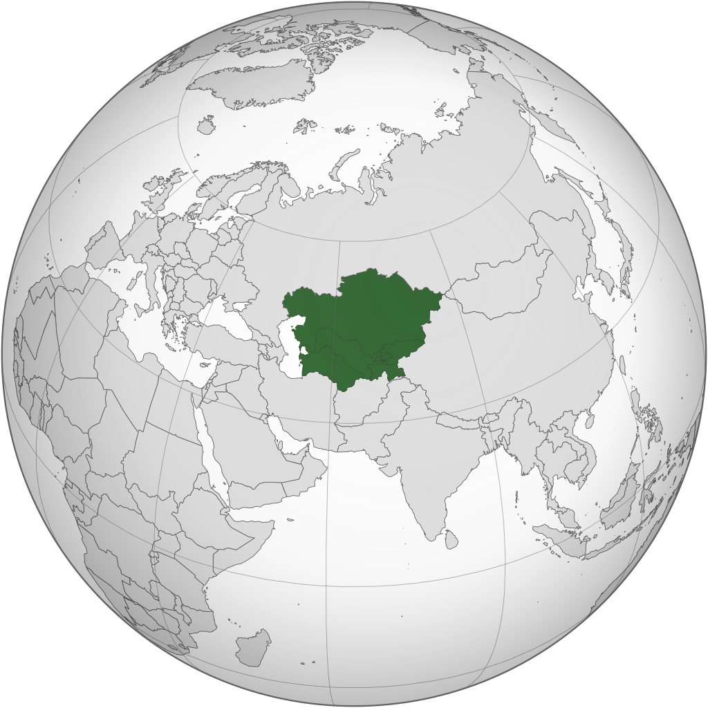
English: Central Asia with national borders Español: Asia Central con bordes |
| Ngit-khì | |
| Lòi-ngièn | Iran (orthographic projection).svg |
| Chok-chá | Serg!o |
| 其他版本 |
.svg) |
| SVG開發 |
.svg)
.svg)
.svg)
.svg)
.svg)
.svg)
.svg)
.svg)
.svg)
.svg)
.svg)
.svg)
.svg)
.svg)
.svg)
.svg)
.svg)
.svg)
.svg)
.svg)
.svg)
.svg)
.svg)
.svg)
.svg)
.svg)
.svg)
.svg)
.svg)
.svg)
.svg)
.svg)
.svg)
.svg)
.svg)
.svg)
.svg)
.svg)
.svg)
.svg)
.svg)
.svg)
.svg)
.svg)
.svg)
.svg)
.svg)
.svg)
.svg)
.svg)
.svg)
.svg)
.svg)
.svg)
.svg)
.svg)
.svg)
.svg)
.svg)
.svg)
.svg)
.svg)
.svg)
.svg)
.svg)
.svg)
.svg)
.svg)
.svg)
.svg)
.svg)
.svg)
.svg)

.svg)

.svg)

.svg)
.svg)
.svg)
.svg)
.svg)
.svg)
.svg)


.svg)
.svg)
.svg)
.svg)
.svg)
.svg)
.svg)

.svg)
.svg)
.svg)
.svg)
.svg)
.svg)
.svg)
.svg)
.svg)

.svg)
.svg)
.svg)
.svg)
.svg)
.svg)
.svg)
_without_national_boundaries.svg)
.svg)
.svg)
.svg)
.svg)
.svg)
.svg)

.svg)
.svg)
.png)
.svg)
.svg)
.svg)
.svg)

.svg)
.svg)
.svg)
.svg)
.svg)
.svg)
.svg)
.svg)
.svg)
.svg)
.svg)

.svg)
.svg)
.svg)
.svg)
.svg)
.svg)
.svg)
.svg)
.svg)

.svg)
.svg)

.svg)
.svg)
.svg)
.svg)
.svg)
.svg)
.svg)
.svg)
.svg)
.svg)
.svg)
.svg)
.svg)
.svg)
.svg)
.svg)
.svg)
.svg)
.svg)
.svg)
.svg)
.svg)
.svg)
.svg)
.svg)
.svg)
.svg)
_-_Crimea_disputed.svg)
.svg)
.svg)
.svg)
.svg)
.svg)
.svg)
.svg)
.svg)
.svg)
.svg)
.svg)
_political.svg)
.svg)
.svg)
.svg)
.svg)
_-_Crimea_disputed_-_no_borders.svg)
.svg)
.svg)
.svg)
.svg)
.svg)
.svg)
.svg)
.svg)
.svg)
.svg)
.svg)

.svg)
.svg)
.svg)

.png)
.svg)
.svg)
.svg)
.svg)
.svg)
.svg)
.svg)
.svg)
.svg)
.svg)
.svg)
.svg)
.svg)
.svg)
.svg)
.svg)
.svg)
.svg)
.svg)
.svg)
.svg)
.svg)
.svg)
.svg)
.svg)
.svg)
.svg)
.svg)
.svg)
.svg)
.svg)
.svg)
.svg)
.svg)
.png)
.svg)
.svg)
.svg)
_(orthographic_projection).png)
Su-khièn
我,本作品的著作權持有者,決定用以下授權條款發佈本作品:
此檔案採用創用CC 姓名標示-相同方式分享 3.0 未在地化版本授權條款。
- Ngì cho-tet chhṳ-yù:
- fûn-hióng – fu̍k-chṳ, fat-pu lâu chhòn-pô pún chok-phín
- chhùng-sîn siû-kói – chhóng-chok yên-yi̍t chok-phín
- 惟需遵照下列條件:
- 姓名標示 – 您必須指名出正確的製作者,和提供授權條款的連結,以及表示是否有對內容上做出變更。您可以用任何合理的方式來行動,但不得以任何方式表明授權條款是對您許可或是由您所使用。
- siông-thùng fông-sṳt fûn-hióng – 如果您利用本素材進行再混合、轉換或創作,您必須基於如同原先的相同或兼容的條款,來分布您的貢獻成品。

|
已授權您依據自由軟體基金會發行的無固定段落、封面文字和封底文字GNU自由文件授權條款1.2版或任意後續版本,對本檔進行複製、傳播和/或修改。該協議的副本列在GNU自由文件授權條款中。 |
Ngì cho-tet sién-chet Ngì sî-yeu ke su-khièn thiàu-khóan.
Vùn-khien li̍t-sṳ́
Tiám-khim ngit-khì / sṳ̀-kiên lòi chhà-khon tông-sṳ̀ chhut-hien-ko ke vùn-khien.
.svg&dir=prev)
.svg&offset=20130804183708)
.svg&offset=&limit=20)
.svg&offset=&limit=50)
.svg&offset=&limit=100)
.svg&offset=&limit=250)
.svg&offset=&limit=500)
| Ngit khì / Sṳ̀-kiên | Suk-lio̍k-thù | Vì-thu | Yung-fu | Yi-kien | |
|---|---|---|---|---|---|
| tông-chhièn | 2024年2月1日 (Si) 10:30 | | 553 × 553(344 KB) | Rodionov Erel | Reverted to version as of 17:55, 18 November 2022 (UTC) |
| 2024年1月25日 (Si) 03:17 |  | 744 × 1,052(618 KB) | Moosie07 | Reverted to version as of 12:09, 24 August 2020 (UTC) | |
| 2022年11月18日 (Ńg) 17:55 |  | 553 × 553(344 KB) | M.Bitton | Reverted to version as of 06:08, 4 September 2020 (UTC): why revert to the 2013 version? | |
| 2022年3月11日 (Ńg) 20:36 |  | 553 × 553(344 KB) | Italyoz484 | Reverted to version as of 18:37, 4 August 2013 (UTC) | |
| 2020年9月4日 (Ńg) 06:08 |  | 553 × 553(344 KB) | Mann Mann | Reverted to version as of 02:19, 24 August 2020 (UTC) Unnecessary and POV-pushing. There are other maps which includes other definitions. | |
| 2020年8月24日 (Yit) 12:09 |  | 744 × 1,052(618 KB) | Xerxes1985 | Reverted to version as of 17:01, 19 August 2020 (UTC)There are enough geographers cited in the article including it in Central Asia, furthermore there is a reason why it’s in light green and not green which is also in line with your statement/view(not being an integral part of the core but still being included occasionally in historic terms as in lodernd too) | |
| 2020年8月24日 (Yit) 02:19 |  | 553 × 553(344 KB) | PersianV | Reverted to version as of 17:30, 17 March 2015 (UTC) While historically part of Central Asia, the current central asia term internationally and politically considered only the 5 former soviet -stans. | |
| 2020年8月19日 (Sâm) 17:01 |  | 744 × 1,052(618 KB) | Xerxes1985 | Afghanistan in a lighter colour | |
| 2015年3月17日 (Ngi) 17:30 |  | 553 × 553(344 KB) | Flappiefh | Removed Somaliland and Kosovo. Separated Western Sahara and Morroco. | |
| 2013年8月4日 (Ngit) 18:37 |  | 553 × 553(344 KB) | Flappiefh | Added South Sudan. |
Vùn-khien yung-chhú
Mò ya̍p-mien lièn-chiap to pún vùn-khien.
Chhiòn-vet tóng-on sṳ́-yung chhong-khóng
Hâ-lie̍t khì-thâ Wiki chûng sṳ́-yung liá-chak tóng on:
- af.wikipedia.org ke sṳ́-yung chhong-khóng
- ar.wikipedia.org ke sṳ́-yung chhong-khóng
- arz.wikipedia.org ke sṳ́-yung chhong-khóng
- az.wikipedia.org ke sṳ́-yung chhong-khóng
- ba.wikipedia.org ke sṳ́-yung chhong-khóng
- bg.wikipedia.org ke sṳ́-yung chhong-khóng
- bh.wikipedia.org ke sṳ́-yung chhong-khóng
- bn.wikipedia.org ke sṳ́-yung chhong-khóng
- bs.wikipedia.org ke sṳ́-yung chhong-khóng
- cdo.wikipedia.org ke sṳ́-yung chhong-khóng
- ckb.wikipedia.org ke sṳ́-yung chhong-khóng
- cs.wikipedia.org ke sṳ́-yung chhong-khóng
- de.wikipedia.org ke sṳ́-yung chhong-khóng
- el.wikipedia.org ke sṳ́-yung chhong-khóng
- el.wiktionary.org ke sṳ́-yung chhong-khóng
- en.wikipedia.org ke sṳ́-yung chhong-khóng
- Central Asia
- Asian cuisine
- Template talk:Countries of Asia
- Wikipedia:Userboxes/Location/Asia
- Soviet Central Asia
- Architecture of Central Asia
- Wikipedia:WikiProject Central Asia/Participants
- User:Buaidh/Test4
- Category:Wikipedians interested in Central Asia
- Category:WikiProject Central Asia participants
- Wikipedia:Userboxes/WikiProjects/Regional/03
- Portal:Asia/Central Asia
- Portal:Asia/Map of Central Asia
- List of Asian cuisines
- List of sex worker organizations
- Russian conquest of Central Asia
- User:Ziraro
- Wikipedia:Userboxes/WikiProjects/alphabetical/06
- Template:User from Central Asia/doc1
- Template:User in Central Asia
- Template:User in Central Asia/doc
- Template:User interest Central Asia
- Template:User interest Central Asia/doc
- Template:User WP Central Asia
- Template:User WP Central Asia/doc
- Category:Wikipedians in Central Asia
- Category:Central Asian Wikipedians
- Template:User from Central Asia
- Template:User from Central Asia/doc
- Template:User proud Central Asian
- Template:User proud Central Asian/doc
Kiám-sṳ liá vùn-khien ke kiên-tô chhiòn-vet sṳ́-yung chhong-khóng.
.svg)
.svg)